California Naturalist Outing
Upper Arroyo Park/Trail
JPL Bridge – Millard Canyon
8:50 a.m. – Noon
- Route: Entering at the fence line, north. Stopping along the creek, road, and trail.
- Weather: 52°F at start, much warmer at elevation towards noon. Clear after a rain the day before.
- Elevation change: From about 1,100 to 2,000 feet above sea level.
Visit to the Lower Arroyo Seco
Starting out as a group, this trip was composed of approximately 12 members of the biology field class. Together with the professor, we walked a considerable distance as a group (about 2.5 miles) up into the hills in and amongst the sage scrub/chaparral ecosystems. Along the way we traversed through the cool damp riparian creek which was flowing briskly with the rain run-off from the day before, making its way down into the arroyo and out to sea. And through the edging oak forest communities that weave in and out of the sage/chaparral communities, we ventured into.


On this journey, it became increasingly clearer how the edges of one community to another are not fixed boundaries, just as the edges of water and moisture fail to adhere (mostly) to hard fixed edges. Rather, the various “plant communities” tend to blend into one another as benchmark (or keystone?) plants exist in both spaces, dependent on the types of soils, geology, moisture, and sunlight penetrate it. I wouldn’t be surprised to see an area that “should” be a sage community shaded and cooled by an opportunist oak turning what would normally be a hot dry cleft into a small micro-oak forest, assuming the right conditions were met.


Another aspect of the sage/chaparral ecosystem in this configuration was how they tended to cling more to sides of the hills and mountains, rather than existing as flat areas of foliage and mulch, accumulated over many years. To the contrary, the hillsides seemed to have less of that detritus and plant material, most likely washed away by rains, or blown away with the strong winds which seem to be more the norm these days. What was left was on the scrub forest floor would be prime fuel for forest fires that are increasingly plaguing the hillsides of SoCal.
Following the Fern Truck Trail up the hillside, we came across several different and new species in this sage/chaparral plant community. Of those, we encountered monkey bush flowers, hollyleaf cherry, and different types of buckwheat mixing in this intercoastal space. One observation that struck me was how different things grew dependent on its orientation to the sun. Most interestingly were how plant ecosystems on a northern exposure grew up into the higher elevations and on southern exposures, it seemed as though upper ecosystems grew down into those lower. This was all conditional as dictated by invisible geologic formations that could move (or block) water through the landscape creating green zones (or plant community patches). Looking at the hillside in total, these patchwork communities began to stand out as opportunist plants occupied niches and exploited perfect growing conditions for that plant at that time.

Also in the spaces, the birdlife seemed more natural from down in the Lower Arroyo. By that, I mean they seemed less attenuated to people being present and more bird-like in their behavior. Ravens flew without concern of us clumped together on the trail and a turkey vulture turned on the up drafts from the canyons, high overhead.
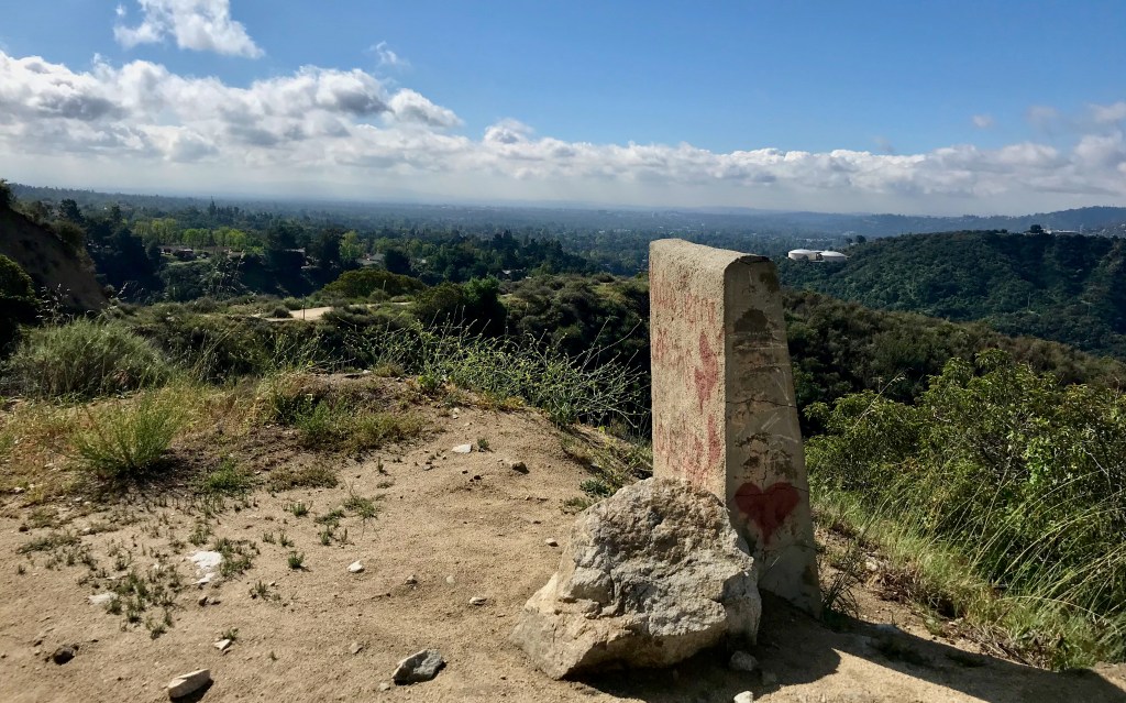
At the point in the trail we stopped, we had reached about 2,000 feet in elevation. Looking out over the western San Gabriel Valley, we took some time to envision the space over the many millennia of human habitation in the region. Collectively we tried to envision the many cycles of change, from oak forests, chaparral/sage ecosystems and grass savannas stretching out into the distance. Bringing that idealized past forward, our visioning took us through periods of cattle grazing in open spaces, denuding from the growth of ranchos and orchards and agricultural production. In its latest iteration, seeing the vast open space of the valley as a giant urban forest with thousands of trees and shrubs of different species mixed into lawns, building sites, and abandoned or undeveloped spaces filled with native and non-native grasses and weeds (or less desired plants). The thought around this for me was how nearly impossible it was to impose or say what is “a better” ecosystem, especially as both the natural and developed spaces evolve and change with human intervention. Our present-day horticultural practice is no different today than they were perhaps 10,000 years ago as the people in the space tried to shape or control it to fit their needs and requirements at that time.


My conclusion is that there is no “natural” state unless it’s a state without human intrusion. The landscape is shaped just by our presence in it. More so in our assimilating and living off it. That said, I do think there are approximations to natural states, which is what some strive to create when considering natural landscapes. But even then, if not allowing the plants and systems decide what works and what doesn’t, it’s impossible to recreate what nature itself dictates.
Here we concluded our excursion and returned to our point of origin, concluding our time on the trail.
Field Observations
- Mountain bike riders (many)
- High canyon birds
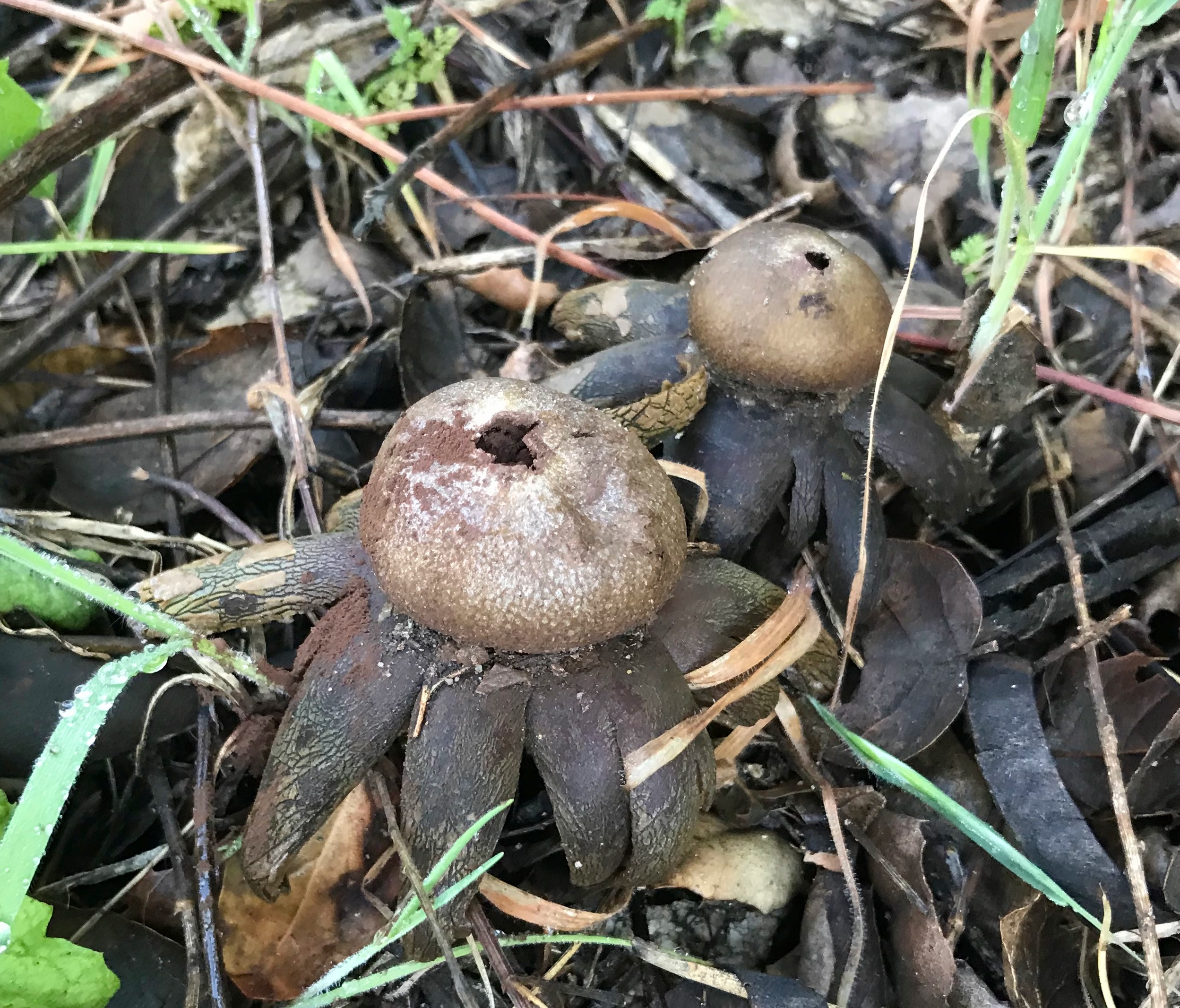
- Mushrooms
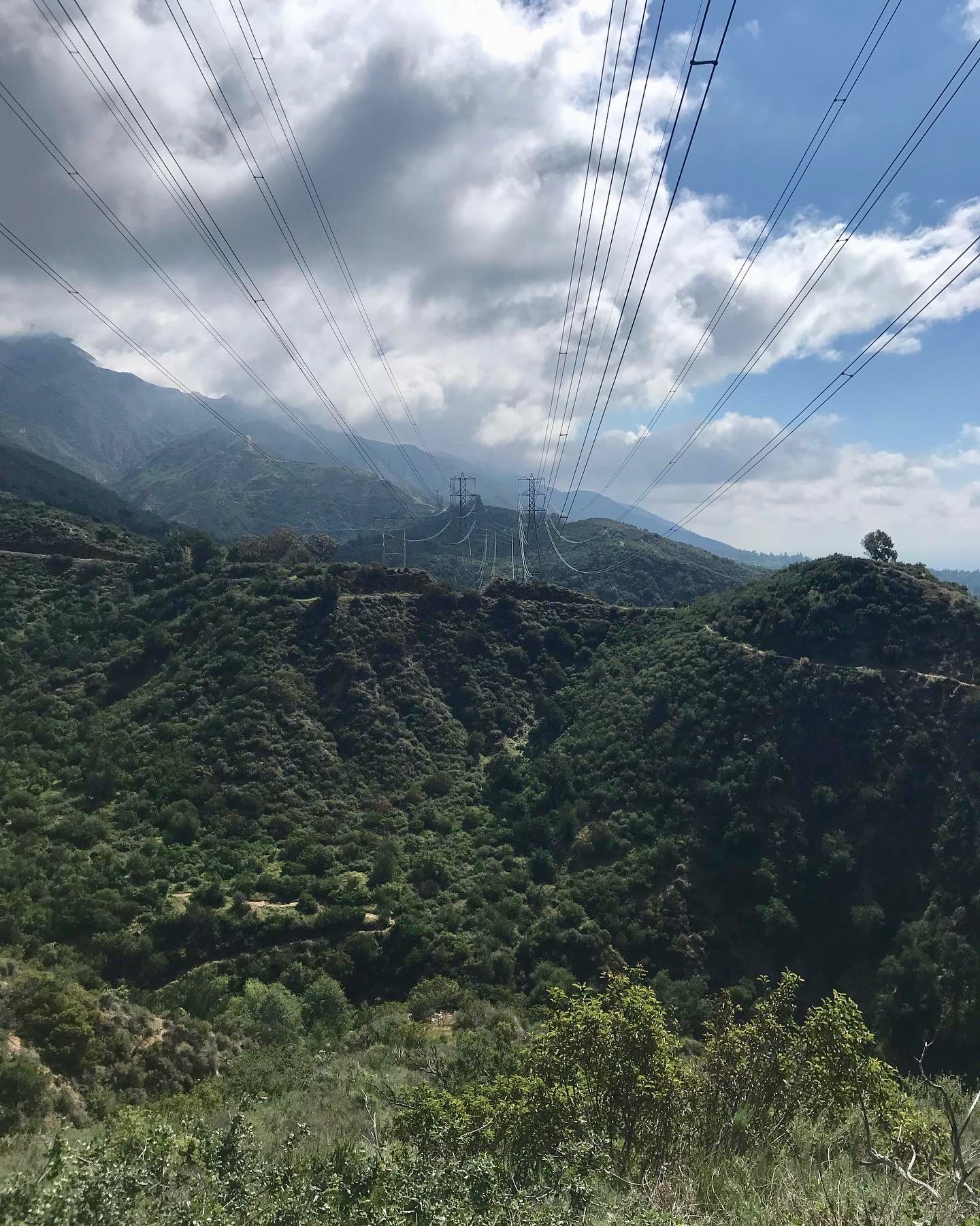
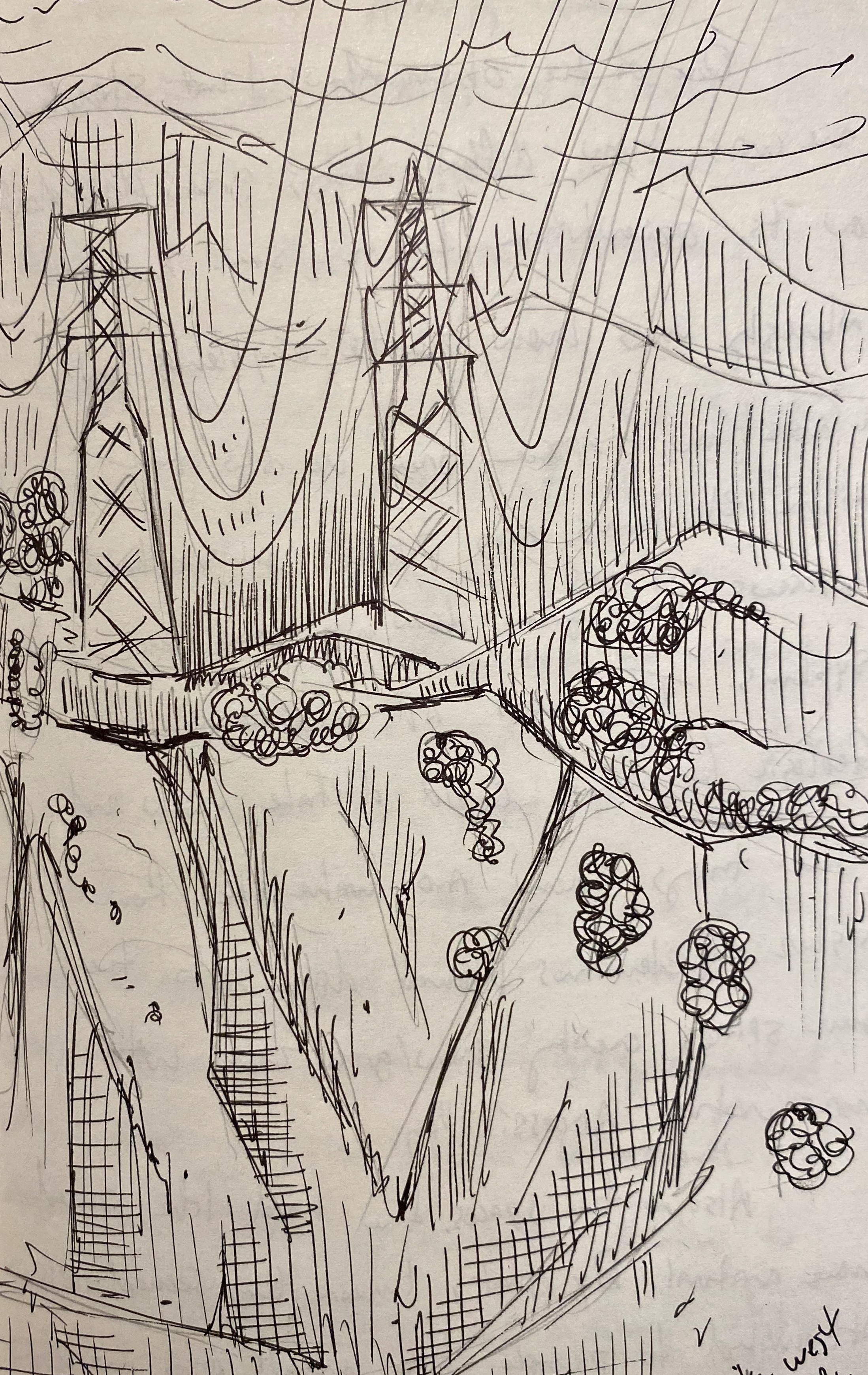
- Radio/transmission equipment
- Electrical transmission towers/lines
- Suburb communities
- Broad views of the western San Gabriel valley
Observed Species
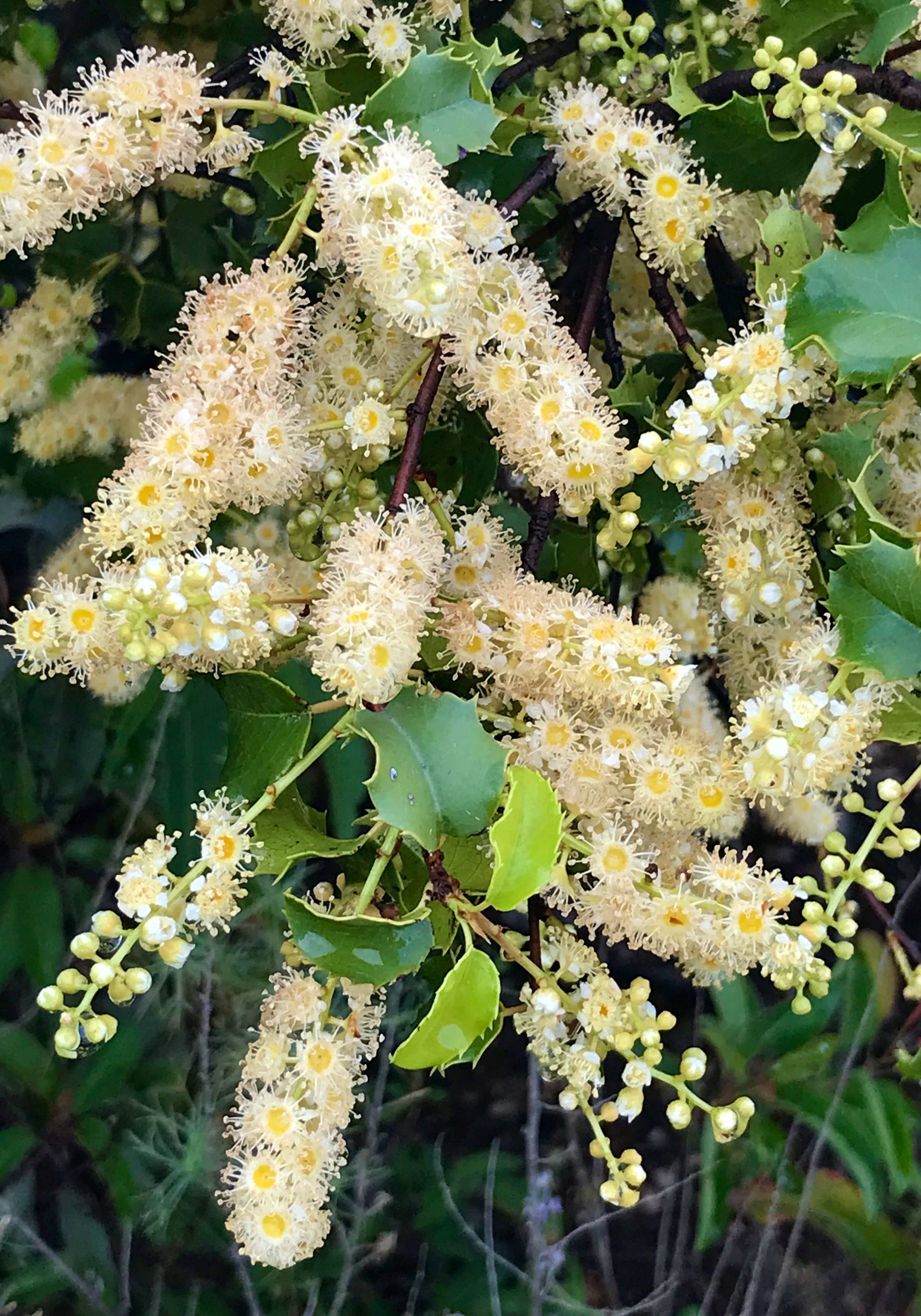
- Hollyleaf Cherry – Prunus ilicifolia
- California buckwheat – Eriogonum fasciculatum
- Coastal buckwheat – Eriogonum latifolium
- Laurel sumac – Malosma laurina
- California Sage – Artemisia californica
- Elderberry – Sambucus melanocarpa
- Southern Bush Monkeyflower – Diplacus longiflorus
- Mushroom – Astraeus pteridis
- Turkey Vulture – Cathartes aura
- Ravens – Corvus corax
- Black sage – Salvia mellifera
- White sage – Salvia apiana
- Hairy Ceanothus – Ceanothus oliganthus
- Chamise – Adenostoma fasciculatum
- Wild cucumber/ Chilicothe – Marah macrocarpa
- Bigelow’s Spike Moss – Selaginella bigelovii
- Sacred Datura – Datura wrightii
- Woolly Indian Paintbrush – Castilleja foliolosa
- Spanish Broom – Spartium junceum
- California Dodder – Cuscuta californica
- Mule Deer – Odocoileus hemionus
- Invasive mustards
- Ground oaks

5 responses to “Upper Arroyo Seco – Visit 3”
[…] 2 | Visit 3 | Visit 4 | Visit […]
LikeLike
[…] 1 | Visit 3 | Visit 4 | Visit […]
LikeLike
[…] 1 | Visit 2 | Visit 3 | Visit […]
LikeLike
[…] 1 | Visit 2 | Visit 3 | Visit […]
LikeLike
[…] there were reminded me of something from my naturalist training where, at a point overlooking the San Gabriel Valley, as a group we imagined the world as it may have been centuries past as open plains hosted […]
LikeLike